Why In News?
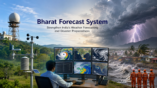
The India Meteorological Department (IMD) adopted the Bharat Forecast System (BharatFS), making India the only country globally to run a high-resolution 6 km global weather prediction model for real-time forecasting.
What is the Bharat Forecast System (BharatFS)?
Numerical Weather Prediction (NWP): The system operates as an indigenously developed, advanced NWP model to simulate and predict future weather states.
Mathematical Simulation: It utilizes complex mathematical equations and atmospheric physics to model atmospheric dynamics.
Triangular Cubic Octahedral (TCo) Grid: The system runs on a specialized TCo dynamical grid to capture weather complexities over tropical regions like the Himalayas and Western Ghats.
Key Features of BharatFS
High Spatial Resolution: It features 6 km x 6 km spatial resolution, outperforming older 12 km Global Forecast System (GFS) models and international models running at 9–14 km resolutions.
Indigenous Technology: The Indian Institute of Tropical Meteorology (IITM) develops the system, utilizing the Arka supercomputer with a computing capacity of 11.77 petaflops.
Rapid Processing: The system reduces forecast generation time from 10 hours down to just 3 to 4 hours.
Panchayat-Level Forecasts: The 6 km grid generates precise, hyper-local forecasts for village clusters, replacing broader district or block-level predictions.
Extreme Weather Prediction: The model delivers a 30% improvement in predicting extreme rainfall events across core monsoon regions and enhances cyclone tracking and intensity forecasts.
Significance
Disaster Risk Reduction: Reduces cyclone landfall prediction errors by 40% and provides rapid warnings for cloudbursts and flash floods to minimize casualties.
Agricultural Support: Generates hyper-local forecasts to help farmers optimize crop sowing, irrigation, and harvesting, building on past successes like saving ₹1,200 crore of citrus crops in Punjab through frost alerts.
Water Resource Management: Localized rainfall data enables water authorities to manage dams and reservoirs effectively, mitigating urban flood risks and optimizing dry-season storage.
Climate Resilience: Identifies rural heat islands and detects extreme shifts in monsoon patterns to assist governments in building long-term adaptation strategies.
Atmanirbhar Bharat: Indigenous model advances the Make in India vision, eliminating dependence on foreign forecasting models and asserting regional leadership through data sharing with neighboring countries.
Source: pib
|
PRACTICE QUESTION Q. With reference to India's weather forecasting capabilities, the terms 'Arka' and 'Arunika' frequently seen in the news refer to: A) New satellite missions launched by ISRO for earth observation. B) Doppler Weather Radars installed along the eastern coast of India. C) Supercomputing facilities used by the Ministry of Earth Sciences for weather prediction. D) AI-enabled mobile applications developed by the IMD for farmers. Answer: C Explanation: Arka (at IITM-Pune) and Arunika (at NCMRWF-Noida) are advanced supercomputing facilities that power models like the Bharat Forecast System. |



