Why In News?
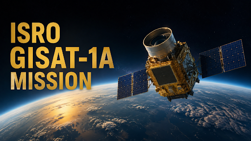
Indian Space Research Organisation (ISRO) to launch the GISAT-1A (Geo Imaging Satellite) in the first week of September 2026.
What is GISAT-1A?
-
GISAT (Geo Imaging Satellite) is designed to provide frequent imaging of the Indian region.
-
GISAT-1A is also designated EOS-05 in India's Earth-observation satellite series.
-
It is a geostationary Earth-observation satellite designed for frequent observation and rapid monitoring of natural hazards.
-
GISAT-1A follows EOS-03/GISAT-1, whose 2021 launch failed because the cryogenic upper stage did not ignite.
-
The mission is planned on GSLV Mk II, India's cryogenic launch vehicle for approximately 2,200-kg-class payloads to GTO.
What is the GISAT Series?
|
What are the Main Objectives?
-
Continuous Observation: GISAT-1A aims to provide repeated observation of the Indian subcontinent from geostationary orbit.
-
High Temporal Resolution: Its major advantage is frequent imaging, allowing rapidly changing events to be observed more often than conventional polar-orbit satellites.
-
Disaster Monitoring: It can strengthen monitoring of cyclones, floods, forest fires, landslides and other episodic events.
-
Agriculture: Frequent imagery can support crop monitoring, damage assessment and land-use analysis.
-
Forestry: Repeated observation can help track forest-cover changes and fire events.
-
Strategic Applications: Persistent observation can also support maritime awareness, infrastructure monitoring and strategic applications.
Geostationary Earth-Observation Satellite
-
Fixed View: A geostationary satellite appears fixed over a particular longitude because it orbits at the same angular speed as Earth's rotation.
-
Continuous Coverage: It can repeatedly observe the same large geographical region without waiting for another orbital pass.
-
High Temporal Resolution: This makes it particularly useful for rapidly evolving events such as cyclones and floods.
-
Near Real-Time Support: ISRO already uses space-based observations for near-real-time disaster monitoring and decision support.
-
Polar-Orbit Difference: Polar satellites generally provide higher spatial detail and global coverage, but revisit a particular location less frequently.
-
Geostationary vs Geosynchronous: A geostationary orbit is a special geosynchronous orbit that is circular and lies over the equator.

Source: INDIANEXPRESS
|
PRACTICE QUESTION Q. With reference to GISAT-1A, consider the following statements:
Which of the statements given above are correct? A. 1 and 2 only B. 1, 2 and 3 only C. 2 and 4 only D. 1, 2, 3 and 4 Answer: B Explanation: Statement 1 is correct: GISAT-1A is designed as a geostationary Earth-observation satellite (Geo Imaging Satellite), intended to operate from a Geostationary Orbit (GEO) to provide continuous observation of the Indian subcontinent. Statement 2 is correct: It is officially designated as EOS-05 under ISRO's Earth Observation Satellite nomenclature. Statement 3 is correct: It is planned to be launched aboard the GSLV Mk II (specifically the GSLV-F17 mission). Statement 4 is incorrect: Its predecessor, EOS-03 (GISAT-1), was not successfully placed into orbit; the mission failed in August 2021 due to an anomaly in the cryogenic upper stage of the GSLV-F10 launch vehicle. |



