Why In News?
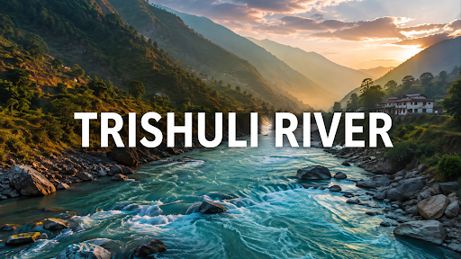
Glacial collapse and ice-rock avalanche originating in southern Tibet triggered massive flash floods along Nepal's Trishuli River corridor.
About the Trishuli River (Trisuli Ganga)
|
Source & Origin |
Originates at an altitude above 5,000 metres in the Pekhu Kangri range (Langtang Himal) in Gyirong (Kyirong) County, southern Tibet (China). |
|
Formative Headwaters |
Formed by the confluence of the Kyirong Tsangpo (Kerung Khola) and Lhende Khola near Rasuwagadhi on the Nepal–China international border. |
|
Sacred Source Connection |
Also receives alpine glacial melt from the holy Gosaikunda Lake via the Trisuli Khola near Dhunche in Rasuwa District. |
|
Course & Flow Path |
Flows south-southwest through steep V-shaped gorges across Nepal's Rasuwa, Nuwakot, Dhading, and Gorkha districts. |
|
Confluence into Narayani / Gandak |
Merges with the Kali Gandaki River at Devghat (Chitwan/Tanahun) to form the Narayani River (part of the Sapta Gandaki basin). |
|
Entry into India |
The Narayani river enters India at Valmiki Nagar (West Champaran, Bihar), where it is known as the Gandak River, before joining the Ganga at Sonpur near Patna. |
|
Strategic & Economic Role |
Major hub for Nepal's hydropower generation; forms the historic trans-Himalayan trade corridor connecting Kathmandu with Tibet via the Galchhi-Rasuwagadhi highway. |

What Caused the Recent Disaster?
Glacial Collapse & Ice-Rock Avalanche: Climate warming causes hanging glaciers on steep Himalayan faces to lose basal adhesion; a sudden detachment of millions of cubic metres of ice and rock plunges into narrow valleys, pulverising into a high-velocity slurry.
Glacial Lake Outburst Floods (GLOFs): High-altitude glacial lakes, impounded only by unstable loose moraine dams, breach when impacted by avalanches, releasing millions of litres of water within minutes.
Landslide Dam Outburst Floods (LDOFs): Heavy debris temporarily blocks narrow river gorges, forming an artificial dam that subsequently collapses under hydrostatic pressure, releasing catastrophic flash flood waves.
Compound Seismic & Meteorological Triggers: Minor tectonic tremors combined with monsoon soil saturation destabilize steep slopes, triggering multi-tier cascading mass movements.
Downstream Transboundary Impact on India
Hydro-Morphological Impact on North Bihar: The Gandak basin carries one of the highest silt loads in the world; sudden flood surges from Nepal transport heavy boulders and coarse sediment, causing severe riverbed aggradation in West Champaran and Gopalganj.
Threat to the Valmiki Nagar Barrage: Abrupt high-volume flood peaks carrying massive woody debris endanger the structural gates and canals of the Gandak Project, affecting irrigation for over 14 lakh hectares in Bihar and eastern Uttar Pradesh.
Embankment Breaches & River Avulsion: Flood surges force rapid lateral shifts in the Gandak's course, inundating fertile floodplains, destroying standing kharif crops, and displacing vulnerable rural communities.
Source: INDIANEXPRESS
|
PRACTICE QUESTION Q. With reference to the Trishuli River, consider the following statements: 1. It originates in Gyirong County in the Tibetan Plateau. 2. It confluences with the Kali Gandaki River at Devghat to form the Narayani River. 3. It enters India in Uttar Pradesh as the Ghaghara River. Which of the statements given above are correct? (a) 1 and 2 only (b) 2 and 3 only (c) 1 and 3 only (d) 1, 2, and 3 Answer: (a) 1 and 2 only Explanation: Statement 1 is correct: The Trishuli River originates in the Gyirong (Kyirong) County of the Tibetan Plateau (China) from the Pekhu Kangri range. It is formed by the confluence of the Kyirong Tsangpo and the Lende Khola before flowing south into Nepal. Statement 2 is correct: In central Nepal, the Trishuli River merges with the Kali Gandaki River at the sacred site of Devghat (Chitwan/Tanahun) to form the Narayani River. Statement 3 is incorrect: The Narayani River enters India (at the Bihar–Uttar Pradesh border near Valmikinagar) as the Gandak River (not the Ghaghara River). The Ghaghara River (known as Karnali in Nepal) is a separate river system originating near Lake Manasarovar. |



