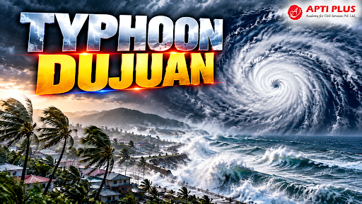
Why In News?
Typhoon Dujuan made landfall along Japan's eastern seaboard, triggering record-breaking torrential rainfall, severe riverine flooding, and landslides.
What Is A Typhoon?
A typhoon is a mature tropical cyclone that develops in the Northwestern Pacific Basin (between 100°E and 180°E), representing an intense closed low-pressure atmospheric system characterized by a warm core, spiral rainbands, and sustained cyclonic winds exceeding 119 km/h.
Cyclogenesis requires warm sea surface temperatures (26°C) extending to an ocean depth of at least 50 meters, providing latent heat of condensation released as moisture ascends and condenses.
Atmospheric Trigger Mechanisms: Formation relies on pre-existing low-level atmospheric disturbances, high middle-tropospheric humidity, significant Coriolis force (usually at latitudes greater than 5° from the equator), and low vertical wind shear between the ocean surface and upper troposphere.
Structural Anatomy: Features a calm central eye surrounded by the eyewall—the zone of maximum updrafts, lowest barometric pressure, and destructive wind velocities—flanked by spiral outer convective bands generating torrential downpours.


Why Is Japan Inherently Vulnerable To Typhoon Disasters?
Island Geography and Ocean Exposure: Situated along the western rim of the Pacific Ocean ("Typhoon Alley"), the Japanese archipelago acts as an oceanic breakwater, directly intercepting northward-curving tropical cyclones.
Mountainous and Fractured Topography: Approximately 73% of Japan’s landmass is mountainous, characterized by unstable volcanic geology, steep hillsides, and short, fast-flowing rivers that transit from source to sea within hours.
Extreme Concentration of Assets in Coastal Plains: Major industrial nodes, high-density residential belts, and critical economic infrastructure are crammed into narrow coastal alluvial plains (such as the Kanto and Nobi plains) located at or below sea level.
Aging Drainage and Civil Infrastructure: Floodgates, coastal seawalls, and drainage pumps constructed during Japan’s mid-20th-century postwar boom are facing structural fatigue under modern intense weather events.
Demographic Vulnerability: An aging population complicates rapid vertical and horizontal evacuation during flash floods and nighttime mudslides.
Source: THEGUARDIAN
|
PRACTICE QUESTION Q. With reference to the formation and characteristics of tropical cyclones, consider the following statements: 1. Cyclogenesis requires sea surface temperatures of at least 26.5°C extending to a depth of roughly 50 meters. 2. The Coriolis force is indispensable for cyclone formation and is absent at the equator, which is why tropical cyclones do not form within 0° to 5° latitude. 3. In the Western North Pacific Ocean, tropical cyclones with sustained wind speeds exceeding 118 km/h are termed 'Hurricanes'. Which of the statements given above are correct? (a) 1 and 2 only (b) 2 and 3 only (c) 1 and 3 only (d) 1, 2 and 3 Answer: (a) Explanation: Statement 1 is correct: Tropical cyclones require a deep, warm ocean layer. Sea surface temperatures (SST) must be at least 26.5°C extending down to about 50 meters to provide enough thermal energy to fuel the storm. Statement 2 is correct: The Coriolis force is essential to create the spin (vorticity) of the cyclone. Because the Coriolis force is zero at the equator and very weak nearby, tropical cyclones rarely form within 0° to 5° latitude of the equator. Statement 3 is incorrect: In the Western North Pacific Ocean, intense tropical cyclones are termed 'Typhoons', not Hurricanes. The term 'Hurricane' is used in the North Atlantic and Northeast Pacific oceans. |



