Why In News?
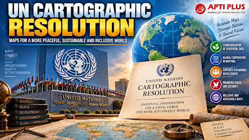
The United Nations General Assembly adopted the "Correct the Map" resolution, by a vote of 164 to 1, promoting equal-area map projections to fix geographic distortions in the 16th-century Mercator projection.
What is the UN Cartographic Resolution?
-
Mandate (A/78/L.11): Titled 'Correct the Map', aims to rebalance global cartographic representation, focusing on Africa.
-
Equal-Area Adoption: Recommends equal-area projections like the 2018 Equal Earth projection for official UN visual materials.
-
Correcting Historical Distortion: Addresses 500 years of Eurocentric bias from 16th-century cylindrical projections.
-
Accurate Sizing: Restores true relative landmass proportions for equatorial and Southern Hemisphere continents.
-
Equity for the Global South: Promotes cartographic justice for developing nations historically minimized on maps.
Key Nation Stances
|

What is the Mercator Projection?
-
Origin and Maritime Navigation Purpose: Formulated in 1569 by Flemish cartographer Gerardus Mercator as a conformal cylindrical projection for sea navigation.
-
Preservation of Angles and Rhumb Lines: Represents lines of constant compass bearing (rhumb lines) as straight lines, enabling ship captains to navigate accurately across oceans.
-
Severe Geometric Distortion Towards the Poles: Distorts land area exponentially as latitude increases away from the equator toward the North and South Poles.
-
The Classic Greenland-Africa Paradox: Depicts Greenland and Africa as roughly equal in size, whereas Africa is physically 14 times larger in actual land area.

Source: THEHINDU
|
PRACTICE QUESTION Q. Which statutory authority in India is legally mandated to produce, certify, and publish the official sovereign political maps of the Republic of India? (a) Indian Space Research Organisation (b) Survey of India (c) Geological Survey of India (d) National Atlas and Thematic Mapping Organisation Answer: (b) Explanation: The Survey of India, established in 1767 under the Department of Science and Technology, is the National Survey and Mapping Organization of the country and the sole authority for official sovereign boundary maps. |



